Ride the Cherohala Skyway
The Cherohala Skyway motorcycle ride is a thrilling and awe-inspiring adventure that takes riders on a breathtaking journey through the mountains of Tennessee and North Carolina. This 43-mile scenic byway on NC 143 – TN 165 offers a perfect blend of sweeping curves, stunning vistas, and pristine wilderness.
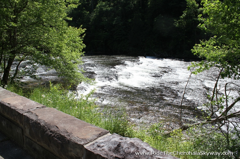
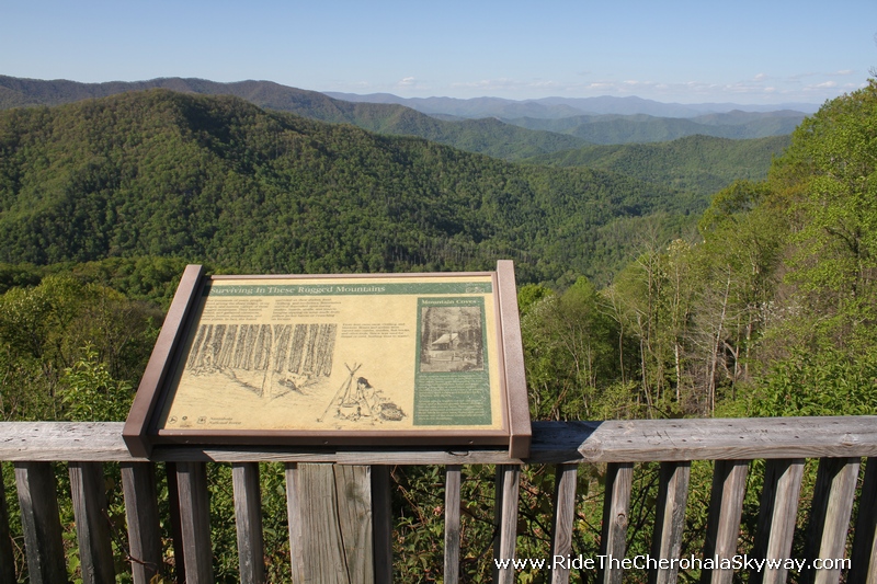
As riders ascend the Cherohala Skyway, they are treated to panoramic views of the Great Smoky Mountains and the Cherokee National Forest. The road itself is well-maintained and offers smooth pavement, making it a dream for motorcycle enthusiasts seeking a thrilling and enjoyable ride. Along the way, riders can stop at various overlooks and pull-offs to take in the majestic beauty of the surrounding landscape, including waterfalls, rivers, and dense forests.
In addition there are 17 great hiking trails from easy to difficult, along the highway to get off the bike and strectch your legs and see different views of the mountains. The Cherohala Skyway motorcycle ride is an unforgettable experience, full of twists and turns, that combines the thrill of riding with the tranquility of nature, making it a must-do for any motorcycle enthusiast.
The Cherohala Skyway begins or ends in Tellico Plains, Tennessee and Robbinsille, North Carolina depending on which way you are coming from. The highway winds through the Cherokee National Forest and the road is full of tight curves and switchbacks, and has an elevation gain of over 3,000 feet. Along the way, riders can enjoy breathtaking views of the surrounding mountains, lush forests, and the occasional waterfall. The Skyway is also home to some of the best motorcycle roads in the country, and is a favorite of experienced riders who come to test their skills.
Some riders make a large loop from the US129Dragontails.com going past the Tbacat Creek Boat Ramp where US 129 and 155 combine then take a left on Route TN 72 to 411 West and then Route 360 south to Tellico Plains and reutn to Robbsinville NC on the Cherohala Skyway.
43 Miles
NC 143 / TN 165
3000 ft Elevation Changes
Scenic Byway
Travel Website Links
- www.AppalachianTrailTravelGuide.com
- www.AshevilleNCTravelGuide.com
- www.BlueRidgeBNBInns.com
- www.BlueRidgeCampgrounds.com
- www.BlueRidgeFestivals.com
- www.BlueRidgeHikingTrails.com
- www.BlueRidgeMountainLakes.com
- www.BlueRidgeMountainOutdoors.com
- www.BlueRidgeMountainRestaurants.com
- www.BlueRidgeMountainTravel.com
- www.BlueRidgeMountainLodging.com
- www.BlueRidgeMountainWeddings.com
- www.BlueRidgeParkwayOverlooks.com
- www.BlueRidgeTravelGuides.com
- www.BlueRidgeTravelNetwork.com
- www.GeorgiaBlueRidge.com
- www.GreatSmokiesTravel.com
- www.LakeWataugaTN.com
- www.SkylineDriveOverlooks.com
- www.WinterSkiCabins.com
- www.BLUERIDGEONLINE.COM
Motorcycle Ride Links
- www.BackoftheDragon16.com
- www.Copperhead276.com
- www.FoothillsParkway339.com
- www.GreatSmokiesRun441.com
- www.MurderMountainRun.com
- www.Rattler209.com
- www.RidetheCherohalaSkyway.com
- www.RoanMountainRun261.com
- www.SuchesLoop.com
- www.TheGauntlerGA.com
- www.TheGeorgiaDragon.com
- www.TheHellbender28.com
- www.TheSnake421.com
- www.ThreeState28.com
- www.US129DragonsTail.com
- www.LakeJamesLoop.com
- www.PineolaPython181.com
- www.DevilsWhip80.com
- www.LandoftheWaterfallsLoop.com
- www.BlueRidgeMotorcycleRide.com
- www.MOTORCYCLERIDERSHOP.COM
Join Our Newsletter
Motorcycle Travel Network Blog
Signup to join the community, get gear & apparel, ride maps, souvenir stickers, patches, pins, t-shirts, biker rallies, biker events and music festivals near you, and ride photos!!!


